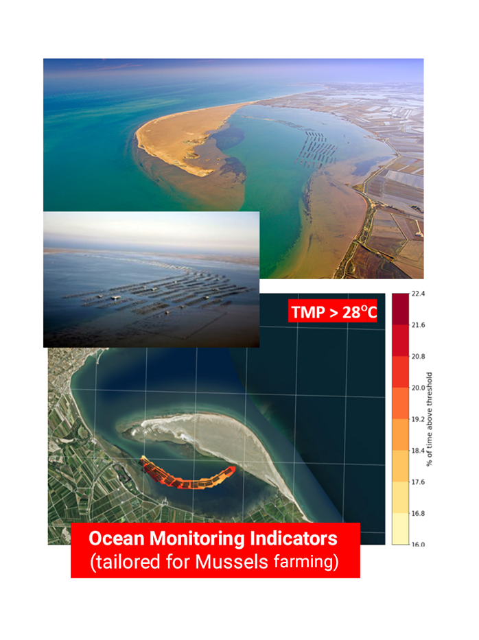

This service tool will support activities at the Fangar Bay linked to environmental protection, fisheries and aquaculture (food health), contributing to keep local production and sustaining related jobs (job protection)
The Client
The Copernicus Marine Service, through its user engagement programme.
The Challenge
The main goal is to deliver a coastal operational service, based on an improved high resolution model system, through an specific User Interface platform to support environmental protection and acquaculture activities in the Ebro Delta.
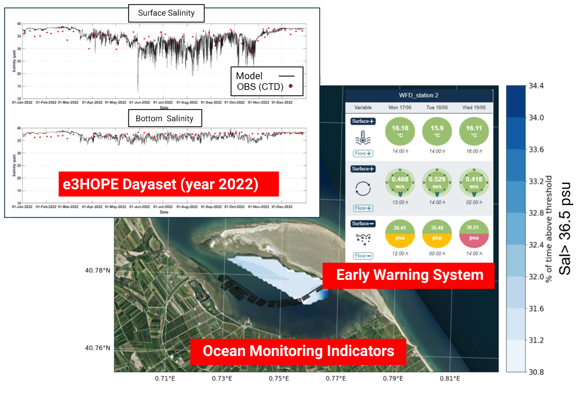
e3HOPE produces a daily forecast, using a high-resolution coastal coupled model, and delivers daily updated products for ocean physics (temperature, salinity, currents, etc.) and waves.
The high-resolution enhanced model system includes ocean-wave coupling, an improved characterization of river freshwater forcing (including inputs from the Ebro river and agriculture canals).
e3HOPE is a Copernicus Marine coastal operational pilot demostrator and it downstreams the Copernicus regional Mediterranean solution for the Ebro Delta.
The service counts with a platform to ensure end-user targeted visualization of forecasts products combined with other existing information.
The e3HOPE NAUI Application delivers visualization of all available observation and coastal forecasts, including indicators and an Early Warning System for extreme events mitigation. Users can fully customize these alerts by setting specific threshold for each warning level and at each site according to their needs.

The Results
The e3HOPE Service through its NAUI Platform contributes towards overcoming challenges that present a difficulty in achieving sustainable bivalve mariculture and preservation of biodiversity in the Ebro Delta, providing information of interest to the authorities and local stakeholders.
This service supports transition towards a blue economy, promoting the use of Copernicus Marine Service and aligning it with initiatives such as EU’s Green Deal, helping the achievement of objectives contained in the EU Water Framework Directive (Directive 2000/60 / EC), in the Framework Directive on Marine Strategy (Directive 2008/56/ EC) and in agreement with Action on Change Climate and Efficiency.
e3HOPE supports environmental protection & sustained management of aquaculture (mussels) production in Ebro Delta.


