Nologin is a Copernicus Marine Service provider, being the NOW Systems Forecasting area fully involved in the operational production of near-real-time forecasts and regional ocean model reanalysis products for this EC Copernicus Service.
The Client
The Copernicus Marine Service is a provider of free and open marine data and services to enable marine policy implementation, support Blue growth and scientific innovation.
The Copernicus Marine Service (or Copernicus Marine Environment Monitoring Service), it is funded by the European Commission (EC) and implemented by Mercator Ocean International.
The Challenge
To provide ocean data products for the European Atlantic façade, running operationally ocean physics, wave and biogeochemistry model applications. Nologin co-leads with MOI this IBI-MFC centre and it is responsible of its operational service delivery.
The IBI MFC responds to the needs of hundreds of users, providing key data for different blue markets and supporting activities on coastal monitoring, navigation, fisheries, renewable energy, marine conservation, climate adaptation, etc...

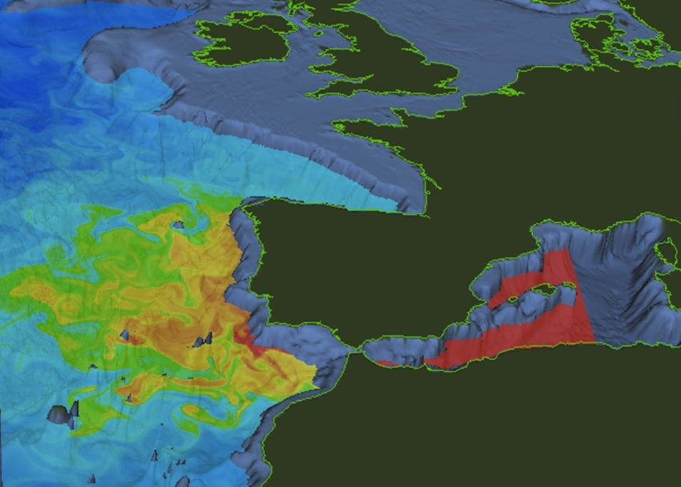
>>> IBI Salinity field at 1000m depth
The Results
We generate a daily updated 5-day physics forecast; 10-day wave forecasts (updated twice a day) and a weekly 10-day biogeochemistry forecast; weekly analysis, assimilating in-situ and satellite observations, and multi-year reanalyses covering the last 30 years.
Within the framework of the European Copernicus marine service, we provide regular and continuous forecasts of the state of the ocean in the IBI area (both short-term and climate scale), delivering products on physics (temperature, salinity, currents, etc.), waves (significant wave height) and biogeochemistry (chlorophyll, pH, nutrients, etc.)..
We deliver a service of short-term forecasts and multi-year reanalyses, produced through automated operational chains that 1) acquire best upstream input data (model, satellite and in-situ observations) required by the model systems; 2) execute complex model simulations to generate IBI solutions; 3) validate the model solutions with all available observations; and 4) make a timely deliver of products to the users.
We distribute 40 surface variables at all levels to characterise as accurately as possible the evolution of the state of the ocean in the IBI area.
We ensure a permanent evolution of the service, using state-of-the-art science and technology to guarantee a robust, punctual and accurate service.


